DigitalAgronomist
Measure and predict levels of macronutrients (N, P, K) using Agronomy, Drone and Satellite Imagery, and Machine Learning.
Digital Agronomist Features
Explore our services
Machine Learning Model
Machine learning model with insights from multispectral camera data, satellite data, and agronomy. Measure and predict levels of macronutrients (N, P, K), learn from powerful predictions.
Tree Counting & Mapping
Gain insights through plant health mapping and early disease detection.
Multispectral Camera
Classify areas with sick plants through multispectral aerial photos.
Satellite Imagery
View nutrition maps from satellite imagery. Take action to treat sick plants.
Locate & Treat Plants
Detect nutrient deficient plants and take action to prevent crop failure.
Predict Nutrient Content
Measure and predict nutrient content through satellite imagery and machine learning model.
Output Report
Detailed output report with digestible data insights and actionable item recommendations.
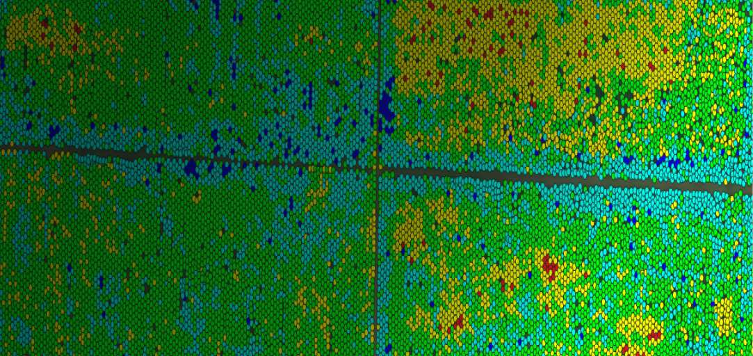
Nutrition Map Example


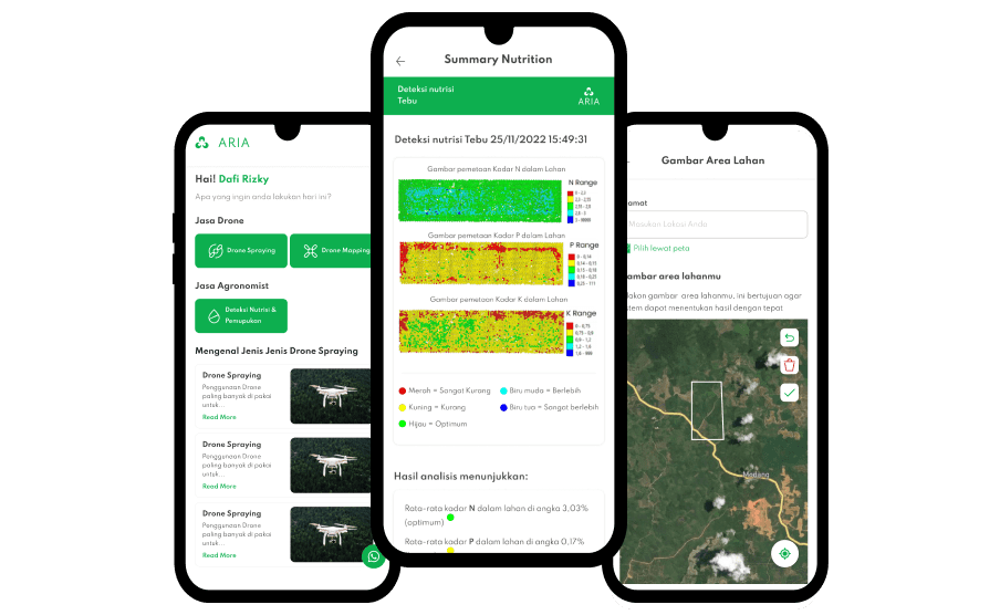
Nutrition Detection on ARIA Tani App
